The latest I have skied is 9 July, and the earliest is 31 August. I am not a TAY guy. I am not hard core, as some of my peers who are now olds used to say. I do, however, enjoy skiing in a t-shirt.

The first song on School of Fish' sophomore slump record, Human Cannonball, is a ripper. Starts off with all the requisite 1993-vintage distortion, hard driving guitar licks, non-sensical lyrics that still kinda make sense in that way where nerdy high school juniors are all like HE TOTALLY GETS ME MOM YOU WOULDN'T UNDERSTAND. The first line even makes sense. "I don't wanna be / in a box until I'm gone." None of us do.
Let's back up a little. I was only 11 when that record came out, winter of sixth grade. My older brother was, as these things go, older than me, 16 that February when the CDs in their incredibly wasteful anti-theft cases hit the shelves. I think it did alright, sales and chart-wise, if that ever mattered. It hit right at just the right time. '93 was pretty good for music, at least the stuff I've been into. Even the Man in the Moon is Crying, Mark Collie's one hit, was all over the country's country stations. Radiohead hit the airwaves with Creep, their "cover" of The Hollies' All I Ever Breathe is Your Farts, or whatever, I can't remember. I just know they got sued for using an identical-ish chord progression and then later, whether as a joke or out of supreme tone-deafness, sued another artist for the exact same reason. Like, not a different song, the same exact one. At any rate, that record, Pablo Honey, had some actual good songs for its day, though I'll admit it didn't stand up to time like their next few releases did. Siamese Dream, that incredibly uneven, but at times absolutely brilliant sophomore effort from Jimmy Corgan Billy Strings Smashing Pumpkins (sorry, I'm getting old, I don't remember so good) came out in the summer, 27 July according to a popular not-for-profit web-based encyclopœdia.
I forgot where I was headed. My brother, as these things go, who is waaaaaaaaayyyyy older than me, I mean damn near 50 now, the old man. Sheesh. At any rate, back then, as these things also go, too, as well, I learned music from other folks. Some gospel from Ma, country from Pa, and the hipness of the moment from J-O. I'm not an essentially curious person, at least not in the sense of seeking out something unknown completely blind. Once I'm on a road, I tend to keep pedaling, though. My tastes, then, were for a few years headed decidedly down the grunge-then-alt-rock road.
Skip a few tracks forward, it's 1999 and I've got a new stereo deck in the Tercel. If it sounds sporty, well, with the right attitude, anything can be. It was a little hatchback from '81, bug-eye back window, off-orange paint, 1.4L engine, 5 speed, and all. I know that the top speed was 74 mph cos I hit it often enough to get a real expensive ticket for doing 74 in a 40. The cop reduced it to 70, telling me he was giving me a break. All these years later, I know he was, cos at the time more than 30 over the limit came with a few automatic things, not the least of which was an immediate suspension of driving privileges. I paid, incrementally, quite a lot after State Farm booted me from my parents' insurance a few months later after my third ticket in the poor little orange gremlin. (Not THAT Gremlin.) The $240 a month for bare minimum coverage in '99 dollars kinda quite a lot.

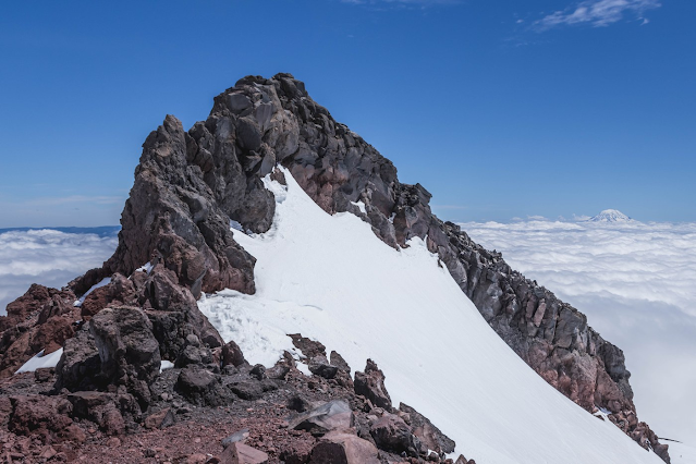
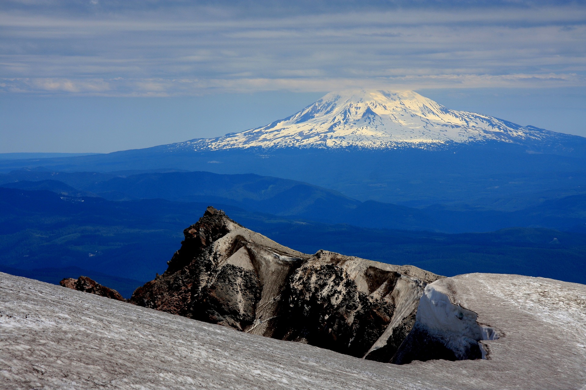
Anyway, I'd push that flashy disc into the deck, turn it up, reach over and roll the other window down, try not to drive off the highway headin up from Cayuse Pass as I was doing so, and maybe hit the gas just a little. It was a big winter, the biggest in memory by some measures, and there was just so damn much snow still on the ground in late June and into July. I'd love to weave some tale about the quality of corn snow that day, or how I pioneered a line on the west face of Naches Peak, but really, I don't remember. I just have the polaroid of a moment. Just the start of the song, the car, my black Dynastars in back, the windows down, and the view down Chinook Creek to the Ohanopecosh.
Nobody will argue with me when I say that memory is fickle. I am adamant that summer skiing is the best skiing, and that in the last 14 years of making almost no summer turns at all, I have lost a little bit of myself. I don't honestly remember many of the actual days, though. I know they happened. I keep records and looking back, there are probly a hundred days over the years. Actually, probly more than a hundred. I got about 50 days in just the springs and summers of '001 and '002. I skied at least once a week--usually 5 or 6 days--from Veterans' Day of '007 through the 4th of July of '008. And yet, despite all this, I don't know, hubris, very few turns stick out. That is exactly what I want. Folks talk about skiing like it's a vacation activity, and it just isn't. It's vocation. Personality. I know there are more important things. I know I'm not bringing anything new to the table. It's just, I want skiing to be mundane because I can't take it or leave it. It isn't need, addiction, any other cliché you want to level at me. It's just, I don't know,

I went through a phase in '008 where I really dug pita pocket sandos with spinach and hummus and a hunka sharp cheddar. Easy on the stomach, lotta protein, some interesting textures, simple to pack for the day. I had one with a warm Guinness Catherine had forgot to chill after a big June day in the Tatoosh. At the base of the Fryingpan Glacier after I finally calmed my stomach down and worked the cramps out of my hamstrings, before four of the lowest turn-to-skinning-mile-ratio turns I've ever made. I had one on the side of Naches on Saturday the 14th of June. I know it was the 14th cos it was the day after I sliced a two-inch chunk of left forearm misleveraging (like, actual leverage, the mechanical kind, not business jargon) a stuck pedal and taking a dirty and wore-out big ring 4, 5 mm into the subdermis. Still have the scar, too. I wish I had pictures. Fun stuff. I just hosed it out with alternating dish soap and hot water and alcohol. I don't even remember it hurting, but there's that pesky memory again. It probly really did.
The last turns I made that summer were on Silver Peak, just west of Hyak. We could barely see our feet for the 4th of July June Gloom. Watermelon algae in sun cupped snow, the sort ya gotta just kinda get on up in there and ski. Glide like you was born to. We were with some cat named Penxa and the snow reporter from the Summit, Catherine and I. I remember the turns were challenging, more than most summer days. I also remember that I made them as I always do, a left after a right, right on up until the bottom. Penxa was pissed, strangely even at me. He couldn't ski for shit, and complained about the viz, the conditions, the mist, the drizzle, meanwhile I just made good tele turns, one after the other. If you could see my face, it's a rictus of smugness, even seventeen years later. I won't lie about this. I absolutely love being the untrained person in a group that gets it more than the ones with schooling or coaching or training. I taught myself to tele by watching folks who got it. Stina, GC, Kenny Tataku, and a few others, in the winter of '000. John Adams at Baker the next couple years. No classes, no coaching, just boot up and go.

1993 had some truly big hit single songs. I mean, that one Naughty by Nature song, the one from Duran Duran that sounds like they listened to The Cure's Disintegration over and over and over again but didn't really get it, heck, 2Pac even had an album on the shelves. Keep Ya Head Up was startlingly prophetic, along the lines of The Message from way back in the day, and stands up like few songs can. There was, maybe poetically, maybe just coincidentally, that one "hip-hop" performer named Snow, who had the ridiculous and ridiculously popular hit, Informer, that holds up as well as flushed toilet paper. The Cranberries' Everybody Else is Doing it So Why Can't We?' came out on the 1st of March that year, a few weeks before Depeche Mode's Songs of Faith and Devotion. SoFaD didn't go as big as some of their other records, but it was mature and dark and moody and accessible all at once and it still sounds good to this day. I also might be forgetting one or two of those Seattle bands that were so big back then, I don't know.
1993 was also sixth grade for me. I don't remember doing any summer skiing. In point of fact, the last day I remember was Crystal's Employee Ski Day, and if yer wondering, no, I did not work there then. I was 11, turning 12 that summer. Baseball was still number one for me. Aram and I were skiing Sunday afternoon, the last day of spring break, and had a parallel realisation that we were not individually prepared to turn in our Spring Break Paper the next morning, and yes, it was largely cos neither of us had yet written a single word. We did what any self-respecting ski bum would do and convinced our respective parents--not hard on either account, especially when you consider neither of us told about the papers we hadn't written--to let us borrow some guest passes and headed on up. Aram's ma, Holly, was a liftie on the weekends. Both of my brothers and also my pa worked in the base area, so we had access to four passes. The weather was questionable, but it never really rained. The snow was gooshy mid-April, something that may have imbedded in my preferences. Closing day is always best if the weather's a little bit moody and the snow a bit sloppy.
I know we turned in our papers, and that whatever grades we got were good enough. I don't remember Mindy the Teacher getting mad at us. For the rest of the year I felt a little smug, like I'd gotten one over on the system.

As I said, it's been a while since I've done any peeople-powered summer skiing, and I don't feel right about it. I really just want to take the spring off one year and ski into July. Park the RV I don't have at Morse Creek, wear flannel, hide out, look up at the stars at night, and wonder if bears really are Catholic or if the pope really does like to eat pizza in the woods. If you've got any cash money you wanna donate to the cause, write me at Help Enore Pretend It's 1993 Again but He's Not a Kid; Not Really the North End, Boy-Cee, Not Really the PNW but Kinda, 837 I forget the rest.

I done did explain the title already but if you must have a recap it's the opening line from School of Fish's 1993 record Human Cannonball off the song "Complicator".
- -
Oh, and if you must know, it was 1 turn per 2 miles skinned. I checked. Uff da.